Hiking day 4. The Longest Day.
 |
| Looking back towards the Canoe Centre hut. |
 |
| Looking back towards Amitsorsuaq and the Canoe Centre hut. |
 |
| What a fine pair of athletes. |
I have to confess to feeling a bit disappointed about leaving the Canoe Centre this morning. It would have been nice to have spent day there playing in the canoes on the lake and perhaps exploring some of the snow filled gullies which overlooked us.
 |
| Looking towards the western edge of Amitsorsuaq |
We began our days walk this morning in very good weather. It was dry and bright with some nice dramatic clouds to add a sense of drama to the landscape, as if it needed it. The first half of today was quite easy going. The route was either flat or tended to gently descend. We followed the shoreline of the lake to a point at it's western end where a river flows out and down to another lake (Kangerluatsiarsuaq). Ahead of us we could see the snow capped mountains of the Pingup range. Whilst the path generally descended it is also like a mini roller-coaster with plenty of undulations. As we neared the lake, Kangerluatsiarsuaq, the path goes over a small knuckle of land jutting out into the lake with a distinctly shaped, but not particularly high hill on top of it. From the top of this small hill we could look down to a stunning section of beach in the south western corner of the lake. The beach formed a small sand bank which effectively created a small lagoon behind it.
 |
| The beach and the lagoon. And the first people we met going the other way. |
As walked down the steep descent to the beach we met a Danish couple who had camped at the beach the previous night. We stopped for lunch at the beach and were joined by a German couple who had come from Ikkattooq hut (our next destination). They also thought the beach was a good spot for lunch. This isolated beach was about to get even busier. I sat on a small sand bank at the back of the beach and look to my right to see a reindeer walking along the shoreline towards us. It didn't seem to be bothered by our presence at all and walked to within about twenty metres of us before veering away in a large arc around our position.
 |
| On top of the first easy hill overlooking the beach |
This morning's route had started off relatively easily but the last couple of kilometres before lunch were a bit more challenging and I was beginning to feel as if I was running on empty. Lunch couldn't come too soon.
 |
| Snow capped mountains to the north. |
From the beach the path heads west and away from the lake. In places the path was hard to define so it paid to take our time to check our navigation. Ahead of us lay three distinct hills marked on the map. The first hill is relatively easy and not too high, but the next two hills involve several short but very steep climbs. The ascent gets easier after a while and the top is littered with many small mountain lakes some of which had dried out over the summer leaving rusty red sandy scars on the ground. The route descended gently in to a valley filled with small interconnected lakes and pools. At the head of the valley is a saddle of land which is essentially a small low ridge between two higher hills. Right on top of this saddle is the Ikkattooq hut. Someone had clearly noted what had been written in the in the Paddy Dillon guide which described the hut as having a "natural weathered-wood exterior" because someone had painted the hut in the traditional rusty red colour to match all the other mountain huts in this part of the world.
 |
| Walking away from the beach. |
 |
| Looking back towards the beach. |
 |
| Looking back towards lake Kangerluatsiarsuaq and the beach. |
 |
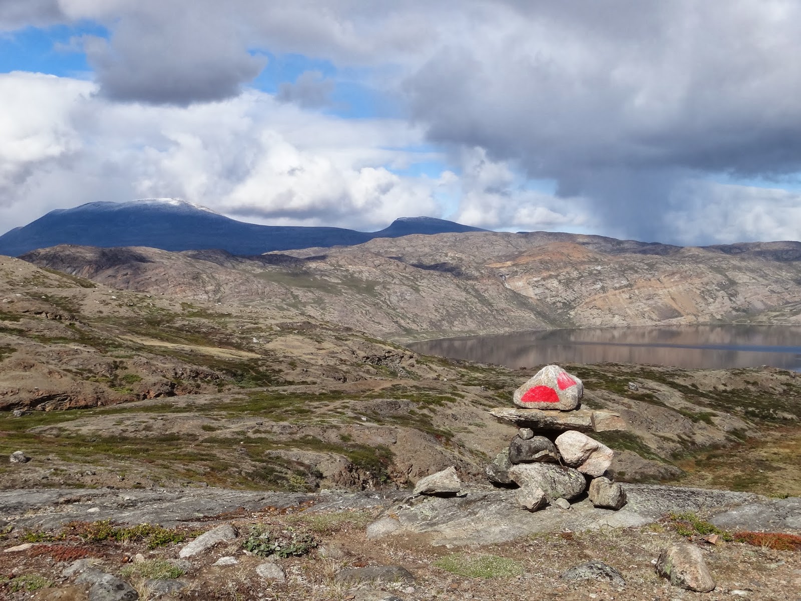
| On top of the rugged hills that overlook lake Kangerluatsiarsuaq |
 |
| Looking back toward lake Kangerluatsiarsuaq |
The hut is tidy but small sleeping only four people in comfort or six to seven people at a squeeze. When we arrived we found two Austrian chaps already settled into the hut. So luckily we were able to bag the remaining two platforms. The Czech and German group arrived about 2 and a half hours after us so they had to sleep in their tents. However, they piled into the hut to cook their supper and to play their traditional game of rock, paper, scissors for chocolate. Again, much to our amusement.
I feel a bit of a psychological boost in knowing we have just completed the longest day of the trail. It certainly feels like an achievement and I am feeling very confident that we'll complete the hike successfully.
 |
| The craggy tops above the lake. |
This terrain may not be particularly challenging when compared to places like North Wales or the Highlands in terms f high and exposed ridges, but unlike North Wales or the Highlands, if something goes wrong here you just can't call for help. There is no mountain rescue service. You are not just a couple of miles away from a road where you could flag down a passing car. You are in the middle of nowhere over a hundred miles above the Arctic Circle and if anything goes wrong, you have to deal with it yourself. And regardless of what the guidebooks might say, the police really don't' want you to leave a route card with them. They are NOT interested. This is a sobering thought. Anyway, the longest day is done and tomorrow is another day.
 |
| Early sighting of the Ikkattooq hut. |
 |
| Ikkattooq hut |
 |
| Inside Ikkattooq hut. My bed is top left. |

 |
| The view west from Ikkattooq hut |


No comments:
Post a Comment